
The Print Field / Essay 31
Rocks in Bretagne
The Commons object description identifies Ingeborg Bernhard's linocut as *Rocks in the Bretagne, France*, dated 1977, with dimensions of 21 by 30 centimetres. The…
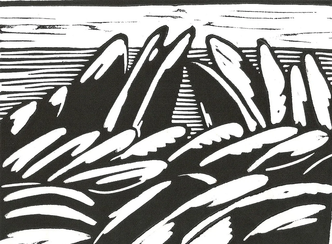
A place name at the edge of the print
The Commons object description identifies Ingeborg Bernhard's linocut as Rocks in the Bretagne, France, dated 1977, with dimensions of 21 by 30 centimetres. The shorter filename, Bretagne, linocut, is not the full descriptive title. These particulars come from the file's own artwork fields, rather than an independent confirmation by an image aggregator. They give a precise starting point for examining how a named coastline is translated into a limited field of cut and uncut shapes.
Brittany's coast is not the print's whole subject. The rocks are forms arranged on a sheet, cut into linoleum and printed in relief. A viewer can follow the contours, note the contrast between dense and open areas, and ask how a large stone becomes legible through an economical set of marks. Those observations stay close to the image. Without a statement by Bernhard or a more detailed catalogue essay, we should not claim which particular shore was shown or what she intended viewers to feel.
Linocut makes a contour physical
In a linocut, the artist removes material from a linoleum surface. The areas left raised receive ink and transfer it to paper. A cut that appears pale in the impression began as a groove in the block; a dark field may come from a broad area left untouched. The printmaker must think in reverse, because the printed image is mirrored from the block. These mechanics make the boundary between two forms a literal decision about what to remove and what to preserve.
Rock forms suit close attention to that boundary. Their edges can be sharply defined, broken, rounded, or interrupted. A print can convey weight through a dark underside, surface texture through repeated cuts, or distance through smaller shapes and open paper. Those are visual possibilities, not automatic meanings of the medium. The viewer should test them against the actual impression rather than assign an effect simply because the work is a linocut.
The coast as structure, not just scenery
Landscape prints often compress a wide view into a small sheet. At 21 by 30 centimetres, the listed dimensions provide a sense of scale for this work. The eye has to construct a place from a limited set of shapes. A large rock can divide the picture; a strip of water can lead the eye toward the edge; unprinted paper can feel like light or sky. A viewer can describe how those areas relate without pretending that the print is a topographical map.
Place names in titles do important but limited work. “Bretagne” situates the print in a region; the fuller catalog title names rocks and France. Neither identifies a specific cove, date of the depicted view, or exact location where Bernhard made the block. A reliable article repeats the documented geography and leaves the rest open unless a source supplies it. The image's atmosphere can be discussed as an experience of the composition, not as a biographical fact.
Reading texture in a digital reproduction
A web image can show major contrast, but it may soften the carved edge or alter the appearance of paper. If a viewer sees a repeated line pattern, it could be a carved mark, a surface texture, or a feature enhanced by reproduction. The Commons file page provides the image and its licensing record; an in-person object would reveal more about ink, paper, and surface. Those are different forms of evidence.
The color and value relationships can still be studied online. Which mass dominates? Where does a cut line stop? Does a white channel separate two dark forms or connect them? Does the composition frame the rocks as isolated objects or as part of a continuous coastline? These questions develop a reading from visible evidence. They do not require invented process details such as the exact tool used, the number of proofs, or the edition size.
A catalog record is an agreement about names
The distinction between filename and descriptive title matters here. A filename makes an image discoverable, while the artwork fields supply the fuller title, maker, date, and dimensions. Those fields already support the identification used in this essay. A copy of the same metadata on another website would not count as independent corroboration. The more useful next evidence would be an artist's account or an object catalogue, if available, addressing the work itself.
This care is especially helpful for regional subjects. A place can carry political, linguistic, and personal meanings beyond a landscape view. The evidence here supports a connection to Bretagne, but not a detailed account of Bernhard's relationship with the region. Readers can be told what the file records and invited to examine the visual structure without a fabricated travel narrative.
Compare the named coast with the constructed coast
The Commons file supplies more than a filename: it records Ingeborg Bernhard, the fuller title Rocks in the Bretagne, France, the year 1977, and dimensions of 21 by 30 centimetres. Those particulars identify the work. They do not determine the exact coastline a viewer should reconstruct from its shapes. The gap between a named region and a composed view is where a useful landscape reading begins.
Consider the difference between locating an image and explaining it. A map could answer where a coastline lies. A description of the print has to explain how edges, masses, and open intervals make the coast readable within a small rectangle. A rock's visual weight might depend on an adjacent pale area as much as on its own outline. The analytic task is to identify that relationship in the reproduction, rather than add a plausible travel story about the artist.
This also changes how the record's dimensions are used. They establish a compact field in which broad geological forms have been reduced to printable decisions. Enlarging the online image can help inspect a boundary but should not make every mark seem monumental. Read at its documented scale, the landscape becomes a negotiation between recognizable place and economical form. The title gives the geographical frame; the carved and inked relationships supply the visual argument. Neither needs an aggregator's retelling to acquire authority when the underlying object description already provides the relevant particulars.
Further reading
Sources & records
Linked records provide object descriptions and historical context. Comparisons, close readings, and explicitly hypothetical examples are editorial analysis. This essay was revised on 22 October 2026; it does not report first-hand workshop research. The image source and license appear in its caption.
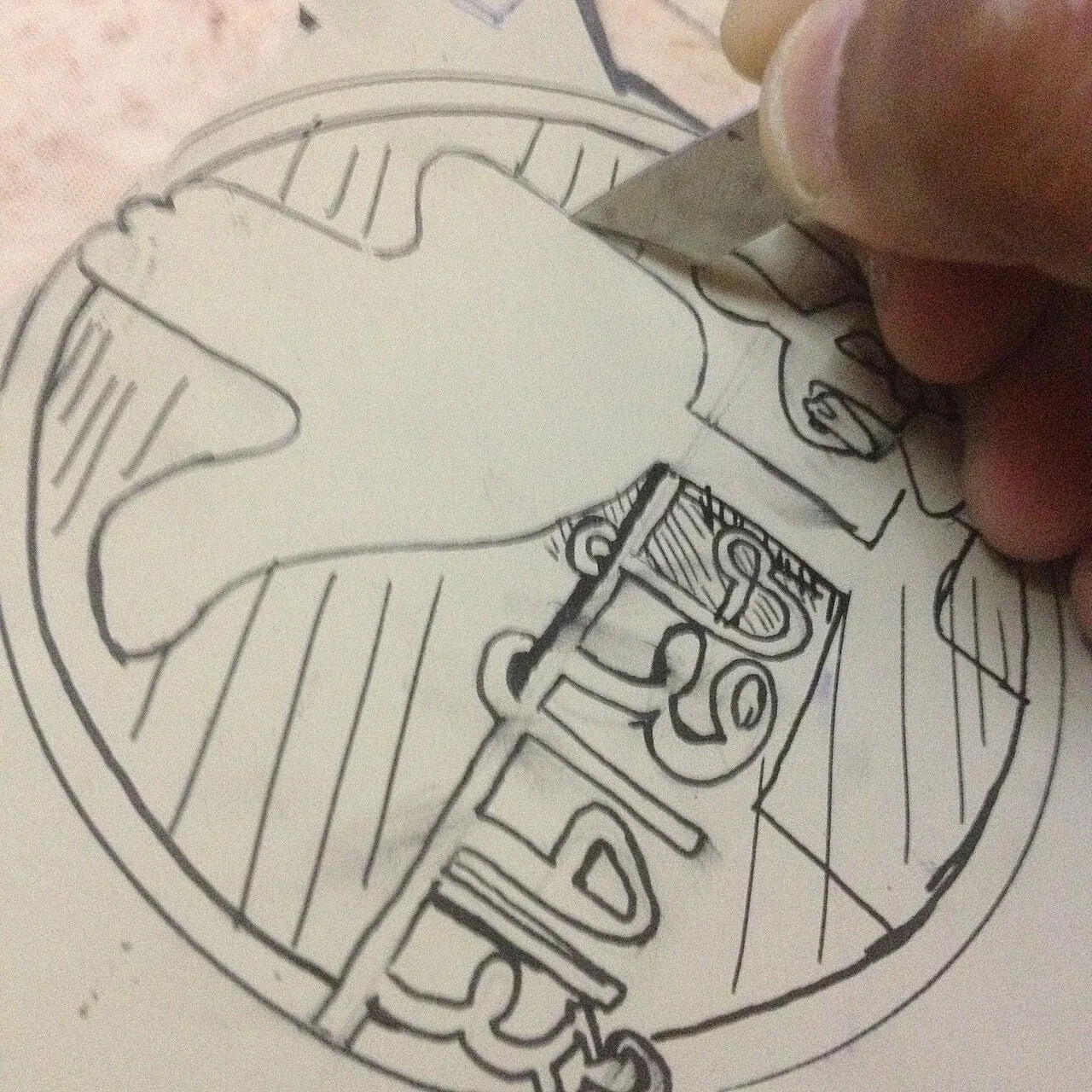
Carving a Chandigarh Stamp in Linoleum
The photograph shows a sheet of linoleum being carved for a stamp. Its caption identifies the design as a stamp featuring Chandigarh's Open Hand Monument, the Rock…
5 min read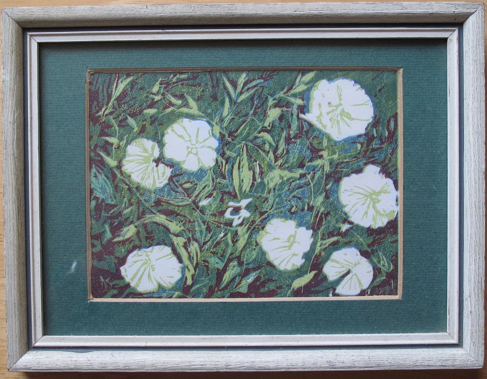
Yvonne Drewry’s Convolvulus Linocut
The Commons file record identifies this image as a linocut of convolvulus flowers by Yvonne Drewry, dated 1975. The photographed impression is the starting…
5 min read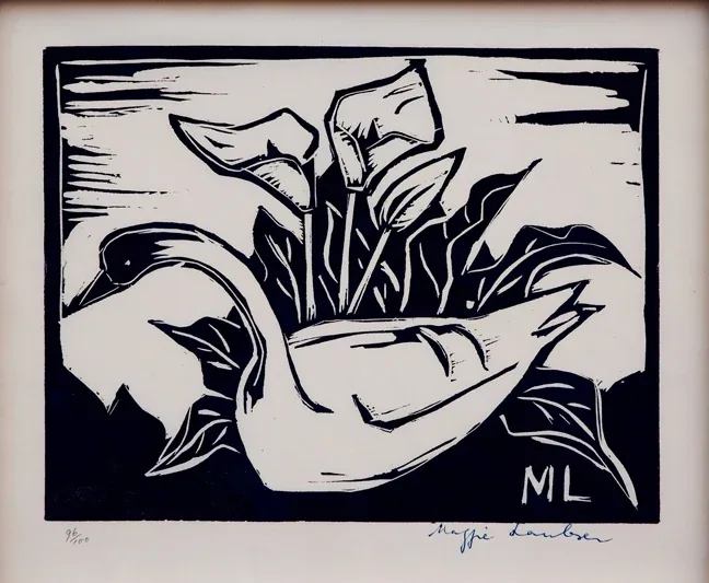
Maggie Laubser’s Swan and Arum Lilies
The work titled *Swan and Arum Lilies* is attributed to Maggie Laubser and described in its Commons record as a linocut measuring 25.5 by 30 centimetres. The file…
5 min read